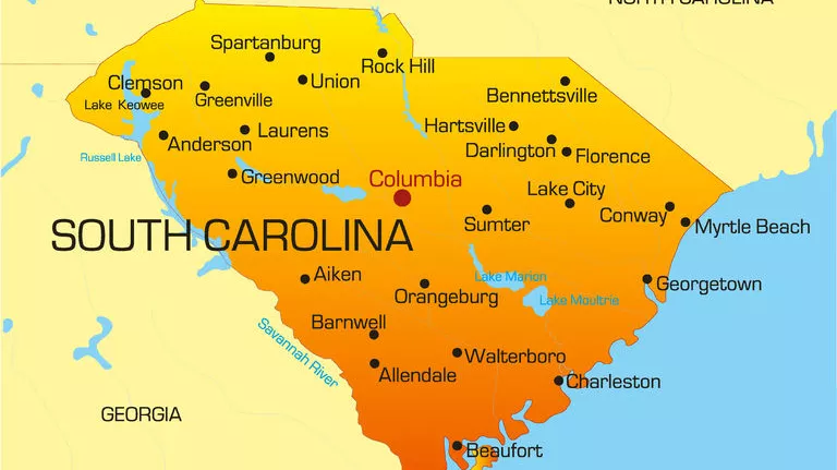


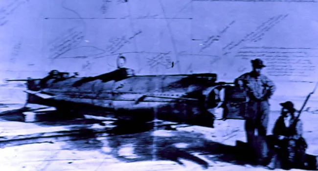
Confederate Submarine C.S.S. Hunley | History of SC Slide Collection
Episode
39
Photo
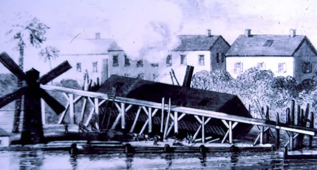
In an effort to disrupt the federal blockade, the Confederacy resorted to many ingenious plans, but perhaps the most daring of all was the attempt to build and use a submarine. The "Hunley" eventually...