
Photo
This relief map of what is now Parris Island shows the distribution of the land among the large plantation owners around 1820. Courtesy of the United States Marine Corps, Parris Island Museum.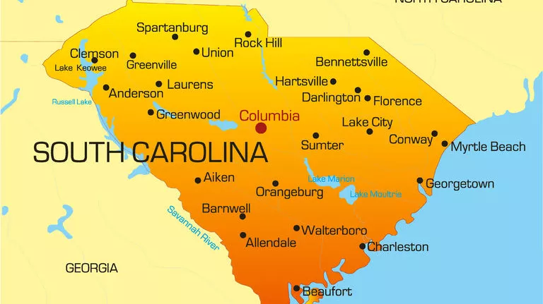
The state of South Carolina is made up of 46 counties. Learn more about each county by selecting a county below to explore people, places and events.
To view the state by tourism regions, visit ETV Shorts.
To view the state by landform regions, visit Web of Water or for the artistic sides of the state, visit A Natural State.

Photo
This relief map of what is now Parris Island shows the distribution of the land among the large plantation owners around 1820. Courtesy of the United States Marine Corps, Parris Island Museum.
Photo
"Friends and Amateurs in Musick" was drawn in 1827 by Thomas Middleton, an amateur artist; it is probably deliberately modeled on the convivial gathering of "Peter Manigault and His Friends" (see...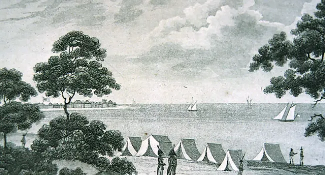
Photo
John C. Calhoun (see John C. Calhoun and John C. Calhoun), newly elected to the House of Representatives in 1811, was an eager supporter of avenging American honor by going to war against England...
Photo
A map of the Battle of Camden. After Charleston fell to the British in 1780, Lord Cornwallis established posts at a number of places in the interior of South Carolina to serve as a base for pacifying...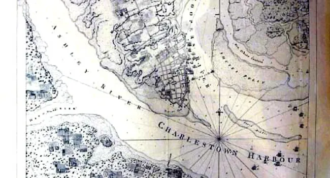
Photo
Plan of the Siege of Charleston, 1780. The British did not capture Charleston in 1776, but when their strategy for winning the war shifted the military offensive from the north to the south in 1779...
Photo
The "old powder magazine," built in 1703 as part of the northwest bastion of the city's original fortifications, was a storage area for arms as Charleston prepared for the Revolutionary War. Courtesy...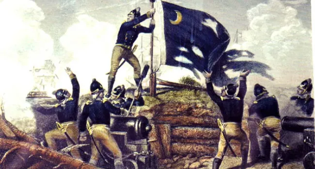
Photo
When a British shot tore the South Carolina flag from its staff during the attack on Sullivan's Island, Sergeant Jasper, an Irishman, risked becoming a target himself to replace the flag, lest the...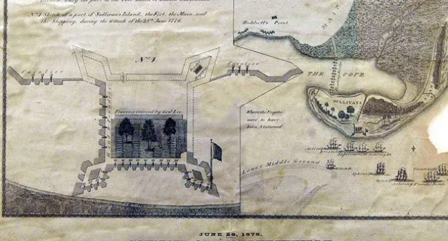
Photo
The British ships fired on Fort Moultrie on June 28, 1776, in an attack outlined in this map. Courtesy of the South Caroliniana Library.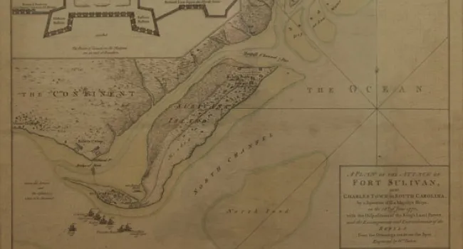
Photo
The heroic defense of the fort on Sullivan's Island from a determined attack in June 1776, by a British Fleet under Sir Peter Parker (see Sir Peter Parker) gave South Carolina its state symbol. The...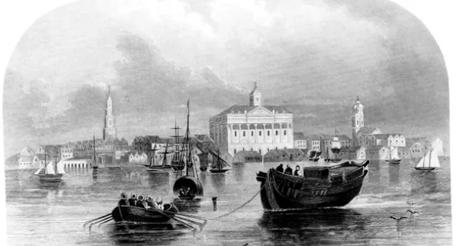
Photo
The focal point of this 1780 view of Charleston from the harbor is the handsome Exchange Building, begun in 1767 as an exchange and customs house for one of the most prosperous shipping towns in the...