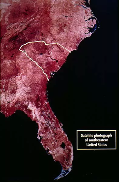
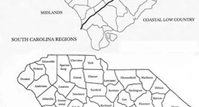
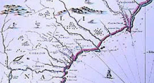
Share to Google Classroom A satellite image of the east coast of the United States, showing South Carolina in outline. From NASA. Subjects: Social StudiesS.C. HistoryPlaces and Regions in South Carolina Series: History of SC Slide CollectionB. Maps & Symbols | History of SC Slide Collection