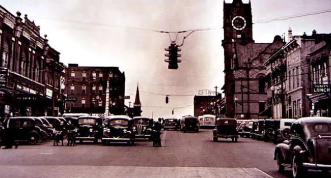
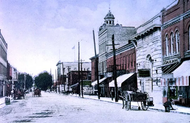
![Aerial View Of Aiken, 1956 | History Of SC Slide Collection](/sites/default/files/styles/assets/public/kiad7/SC-F4low.jpg.webp?itok=5k-d1cMF)
Aerial View Of Aiken, 1956 | History Of SC Slide Collection
Episode
3
Photo
Aerial view of Aiken, around 1956. Courtesy of the Aiken County Historical Museum.Photo
The Plaza in Abbeville, in a postcard view from around 1900. The county seat of Abbeville County (one of the counties or districts created by the state in 1785), the town was named after Abbeville...Photo
Columbians call this complicated intersection of Interstate Highways 26 and 126 with Bush River Road, just north of their city, "Malfunction Junction." Photo by Todd Houston, June 1987. Courtesy of...Photo
Ellenton, one of several towns that was moved in order to make room for the Savannah River Plant (see South Carolina Enters The Nuclear Age). Here Herbert Harden, Railway Express Agent, moves bundles...Photo
The Columbia retail district, Main Street, around 1908. Courtesy of the South Caroliniana Library.Audio
"C" is for Charleston County. [1882 - 919 square miles, population 309,969.]Audio
"B" is for Bennettsville. [1819-present] Marlboro County. Population 9,425.Audio
“B” is for Blackville [Barnwell County; population 2,973]. Incorporated in 1837, Blackville originated as a depository on the South Carolina Railroad. It was named for Alexander Black, a railroad...