

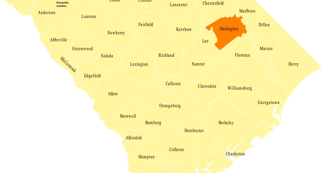


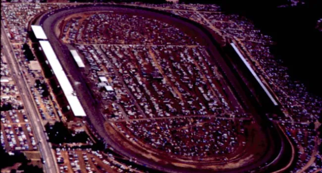
Darlington International Raceway, 1985 | History Of SC Slide Collection
Episode
6
Photo
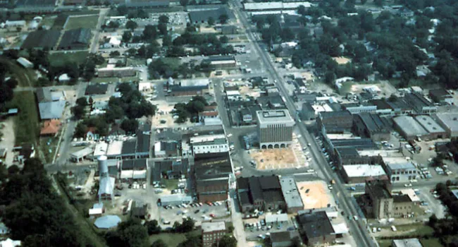
Aerial view of the Darlington International Raceway around 1985. Courtesy of the Darlington County Historical Commission.