
Photo
Columbia Duck Mill textile plant, photographed in 1935. Constructed next to the Columbia Canal in 1893, the Mount Vernon Mill, also known as the Columbia Duck Mill because it manufactured heavy "duck"...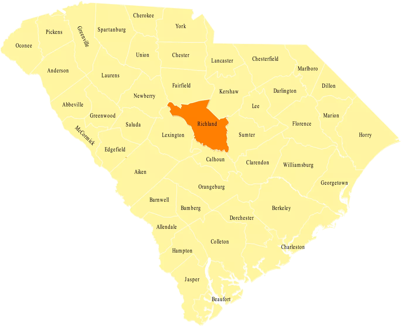
Richland County lies in the South Carolina midlands. Its county seat, Columbia, also serves as the state capital.
The county was founded in 1785 within the Camden District, and its name most likely refers to the “rich land” of the county. In 1791, Richland County became smaller when land previously belonging to this county was added to Kershaw County.
During the Civil War, Sherman entered Richland County and occupied Columbia before setting it on fire.
Since its founding, Columbia has served as an economic hub for the state, especially in terms of trade and manufacturing. The county is home to Fort Jackson, Congaree National Park, and multiple lakes and rivers. Notable county residents include Senator Wade Hampton and President Woodrow Wilson.
SOURCES: About Richland County.

Photo
Columbia Duck Mill textile plant, photographed in 1935. Constructed next to the Columbia Canal in 1893, the Mount Vernon Mill, also known as the Columbia Duck Mill because it manufactured heavy "duck"...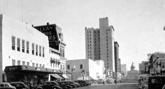
Photo
Main Street, Columbia, looking south, around 1930. The white Palmetto Building, constructed in 1912-1913, dwarfs the Berringer building behind it as one looks toward the State House. Courtesy of the...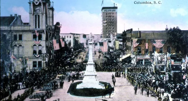
Photo
President William Howard Taft visited Columbia in 1910. This post card view from the State House grounds during the Taft visit shows an extensive vista up Main Street as well. The building on the left...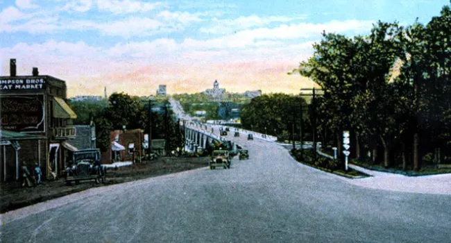
Photo
The Congaree River Bridge carries Gervais Street across the river to Lexington County. This panorama of Columbia looking east from the bridge shows the development of the capitol city around 1910...
Photo
The African-American nursemaids, in this postcard view of Senate Street around 1910, push their young charges in baby buggies past elegant Victorian mansions of the Columbia well-to-do. The red brick...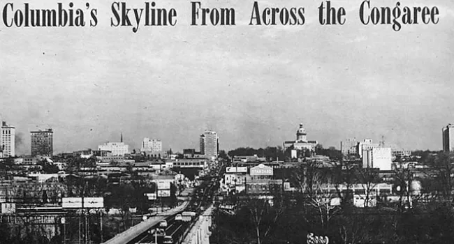
Photo
The Columbia skyline as seen from across the Gervais Street Bridge in 1952. (Compare with The Congaree River Bridge, 1910) Courtesy of Mary Taylor.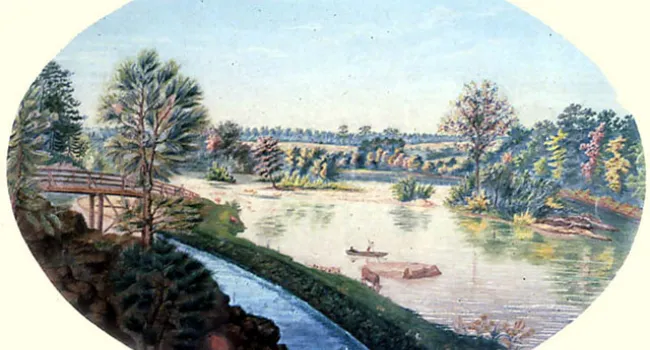
Photo
This view of the Congaree River and the Columbia Canal was drawn by the artist A. Grivevald in 1859. Courtesy of the Columbia Museum of Art.
Photo
Main Street, Columbia, as it appeared at night with its electric street lights in 1910. Courtesy of the Howard G. Woody Postcard Collection.
Photo
This Columbia view of Main Street, looking south, in 1906. Originally named "Richardson Street," the name was changed to Main Street in 1892, since the street had become the city's main central hub of...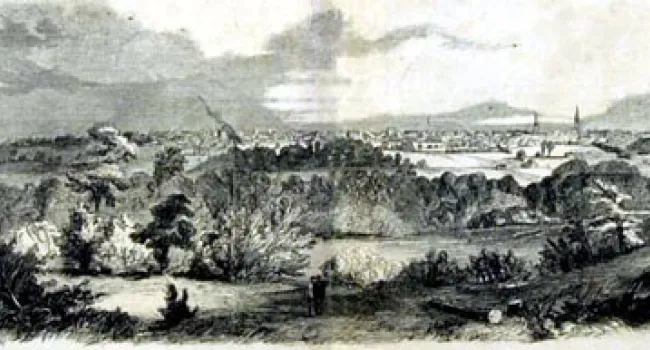
Photo
This view of Columbia from across the Congaree River appeared in the New York "Illustrated News" on January 5, 1861. Courtesy of the South Caroliniana Library.