Gas Station Increase In The 1930's | History Of SC Slide Collection
Episode
16
Photo
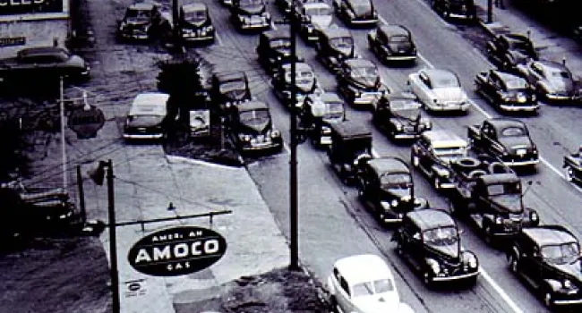
As the number of South Carolinians who owned automobiles increased in the 1930s, so did the number of nationally owned gas stations, like this one in Greenville. Courtesy of the Greenville County...