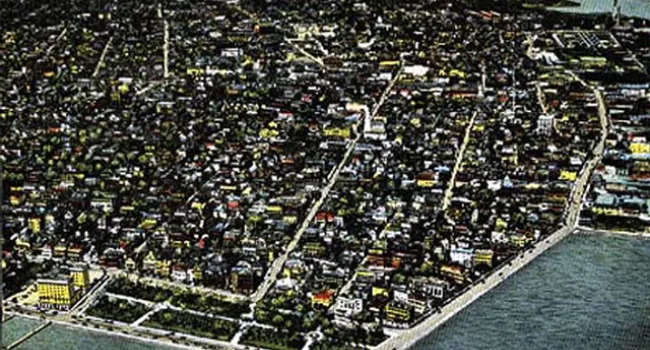
Aerial View Of Charleston, 1940 | History Of SC Slide Collection
Episode
12
Photo
Aerial view of the City of Charleston around 1940. Courtesy of the South Caroliniana Library.Visit the South Carolina Department of Education for Social Studies standards.
Take a quick look at all Social Studies series on Knowitall.org

Photo
Aerial view of the City of Charleston around 1940. Courtesy of the South Caroliniana Library.
Photo
The fall months are traditionally the season of heavy storms along the Carolina Coast. This photograph shows the damage to the Charleston Ferry wharf after a hurricane in 1911. Courtesy of the South...
Photo
St. Andrew's Parish on James Island was one of the early suburban development sites for an expanding 20th century Charleston. The new Ashley River Bridge, completed in 1926, led investors to lay out...
Photo
King Street, looking south in this 1916 postcard view, proudly displays electric street lights. Courtesy of the Howard G. Woody Postcard Collection.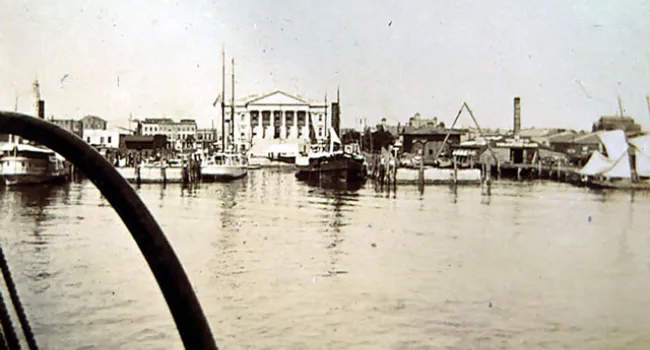
Photo
The Custom House of Charleston, viewed from the harbor in 1899. Begun in 1850 with Federal funds, intended as the crowning glory of Charleston's antebellum civic architecture, the classical revival...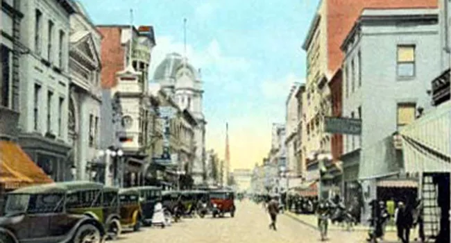
Photo
King Street in Charleston, looking north around 1925. Courtesy of the South Caroliniana Library.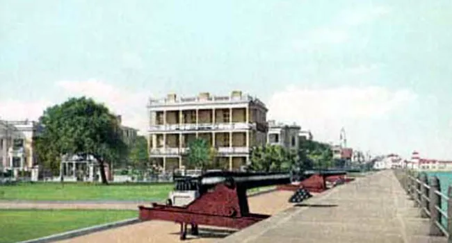
Photo
The promenade on the East Battery, Charleston, in 1910. Courtesy of the South Caroliniana Library.
Photo
The ruins of the Circular Congregational Church, photographed in 1865, show the devastation that fire and war brought on the city of Charleston. Courtesy of the Library of Congress.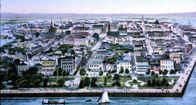
Photo
This birds-eye view of Charleston, drawn and engraved in 1853, was widely reproduced in "Harper's Illustrated Weekly" for the next decade; it became the visual image most outsiders had of what the...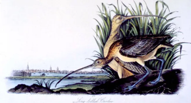
Photo
The artist James Audubon (see John James Audubon) first came to Charleston in late October of 1831, and was so welcomed by its citizens, particularly the Reverend John Bachman (see John Bachman) that...