East Coast Satellite Image | History of SC Slide Collection
Episode
12
Photo
A satellite image of the east coast of the United States, showing South Carolina in outline. From NASA.Photo
A highway map of South Carolina, published by the state Highway Department in 1939, before the building of the multi-lane limited access interstate highways, shows the principal routes that connected...Photo
This is the Georgetown section of a map of South Carolina, published by the noted mapmaker Henry Mouzon in 1783. From the Kendall Collection. Courtesy of the South Caroliniana Library.Photo

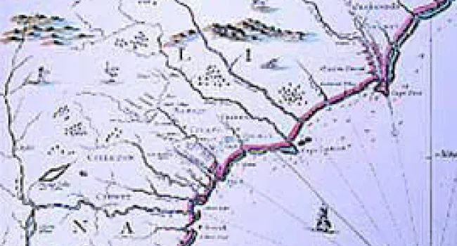
"A new map of Carolina" was published by John Thornton, Robert Morden, and Philip Lea in 1685. Courtesy of the South Carolina Department of Archives and History.Photo
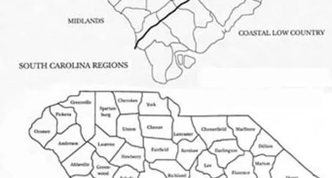
The forty-six counties and five geographic regions of South Carolina. Created by Mike Stauffer. Courtesy South Carolina Department of Archives and HistoryPhoto
The great peak named Caesar's Head dominates the landscape in the northwest corner of Greenville County. Located along the border between North and South Carolina, the mountain was revered by the...Photo
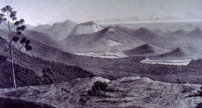
Table Rock Mountain, long a favorite scenic spot of South Carolinians, takes its name from its distinctive shape. A Cherokee legend tells the story that a giant who once lived in the nearby valley had...Photo
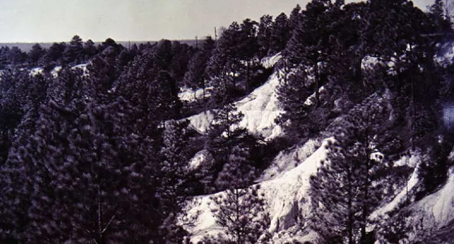
The Sandhills of South Carolina marked the edge of the ancient ocean shoreline nearly 55 million years ago in what is now South Carolina. The Sandhills today form a band that separates the Midlands...Photo
The coast of South Carolina has fascinated artists and visitors from the beginning. Xanthus Smith (1839-1928) served in the U.S. Navy during the Civil War, and participated in the blockade of...Photo
Brookgreen Gardens, between Myrtle Beach and Georgetown on the coast of South Carolina, was formed when Archer M. Huntington joined together parts of four different rice plantations. Anna Hyatt...